Rand McNally and Co.'s New Official Railroad Map of the United States and Canada.
Chicago: Rand McNally and Co, 1884. Unbound. Fair. Item #018123
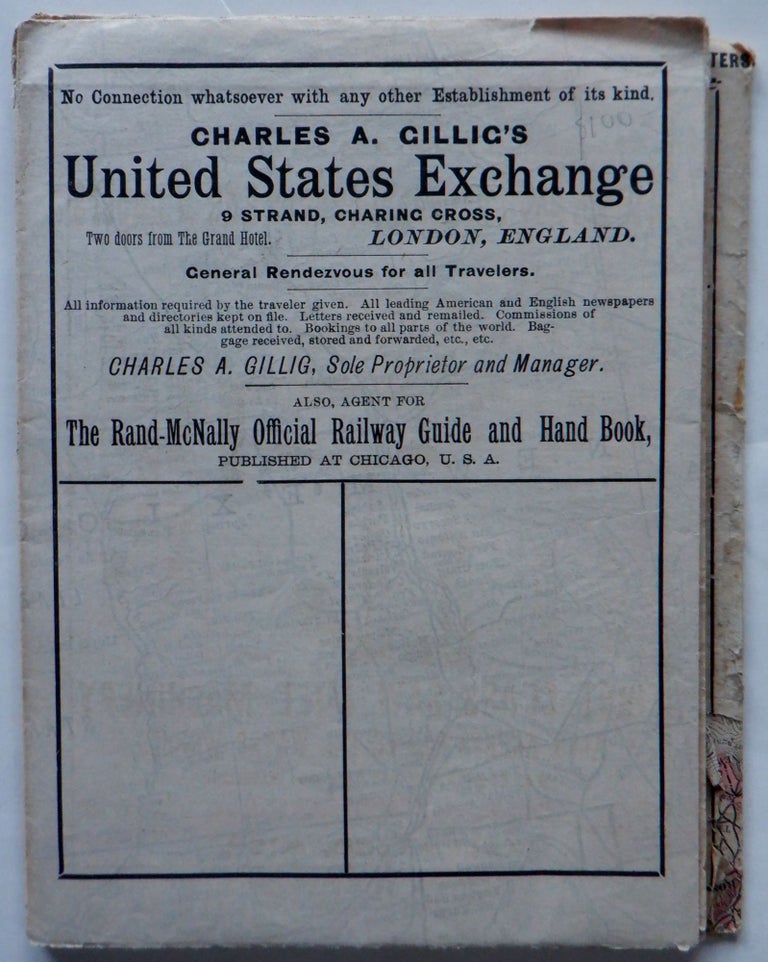
Single sheet, folded. 27 ¾ by 43 inches. Appears removed from a glue in binding of some sort. A map depicting the railroad lines across the United States and Southern Canada, with North and South Dakota still mapped as Dakota. Insets of city maps include Boston, New York, Chicago, St. Louis and others. Reverse with some ads, including an illustrated advertisement for die punches for railroad use. Borders outlined in color. FAIR condition. Paper toned, with very minor soiling. Thin paper stock, being rather brittle. Some creasing and wrinkling present. Many small tears, chips and creases at the intersection of the folds, with very minor loss in a few sections.
Price: $100.00