
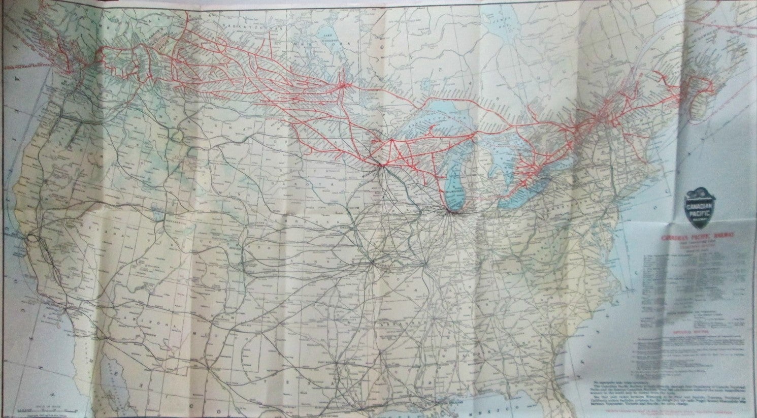
Canadian Pacific Railway and Connecting Lines. Map
Chicago: Poole Bros, 1924. Unbound. Good. Item #016485
ISBN: noisbn
Single sheet, approximately 29 by 17 inches. Printed on a single side only. Perhaps removed from a book or booklet. A map of Canada and the United States, depicting the various railroads operated by the Canadian Pacific Railway, with those printed in red, and other rail lines in black. Includes ticketing routes from St. Paul and from Montreal and Toronto. GOOD condition. Horizontal and vertical fold creases present. Minor soiling and wrinkling. Reverse foxed, with some staining and three spots of glue residue present. Handwritten note titling the map in ink on the reverse.
Price: $20.00
See all items in
Cartography,
Railroadiana
See all items by given