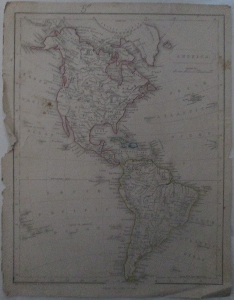
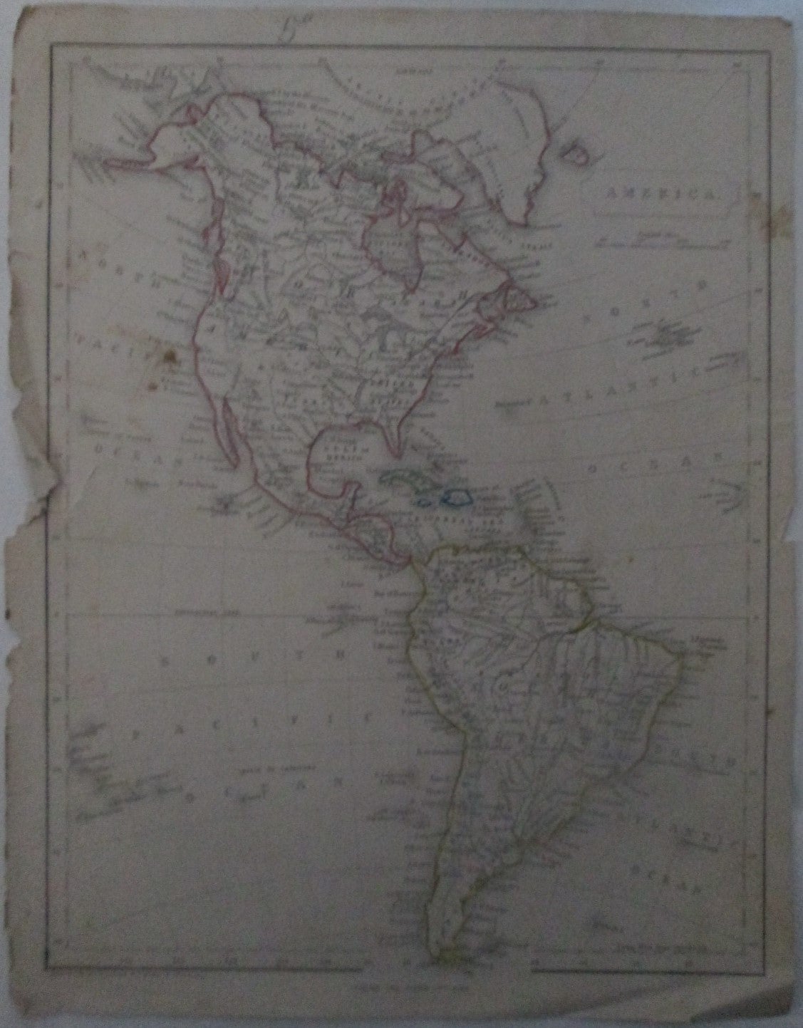
America. Map of the Continents of North and South America, including the United States with Hand Colored Borders.
London: George Virtue, Publisher. Unbound. Good. Item #015763
ISBN: noisbn
no date, perhaps 1830s, based on publisher's address of Ivy Lane. Single sheet, disbound from a larger work. 11 ¼ by 8 ¾. Map of the continents of North and South America, showing some settlements, rivers and other natural features. The region of Alaska is labeled Russian Territory, and the name "Red Indians" appears in the center west United States. GOOD condition. Paper heavily chipped, torn and worn along the binding edge, with minor loss. Minor creasing and curling along the extremities. Minor soiling, foxing and staining. Light toning to the paper. Faint pencil number at the top.
Price: $15.00