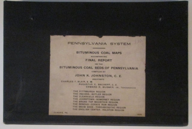
Bituminous Coal Maps Accompanying Final Report on the Bituminous Coal Beds of Pennsylvania Compiled by John K. Johnston. Pennsylvania (Railroad?) System
No Place: No Publisher, 1920. Unbound. Good. Item #010803
ISBN: noisbn
No Publisher. Perhaps Tyrone, PA: 1920. Black clothbound slipcase containing seven of eight maps called for. MISSING the Johnstown-Somerset Region map. A collection of seven very large fold out maps depicting various bituminous coal producing regions in Pennsylvania, with roads and rail lines serving the region also labeled and depicted. Pennsylvania Railroad logo on the map keys, so it is presumed these maps may have been issued by the company. No accompanying text. Maps present are: the Pittsburg Region, the Indiana-Butler Region, the Clearfield Region, the Broad Top Mountain Region, the Renovo-Cook's Run Region, the Snow Shoe-Tangascootac Region, and the English Center-Ralston Region. Maps in GOOD to VERY GOOD condition, with a few minor tears along the folds, minor toning and scattered soiling. Slipcase soiled, faded and somewhat worn, with heavy fraying to the cloth along the opening edge.
Price: $60.00